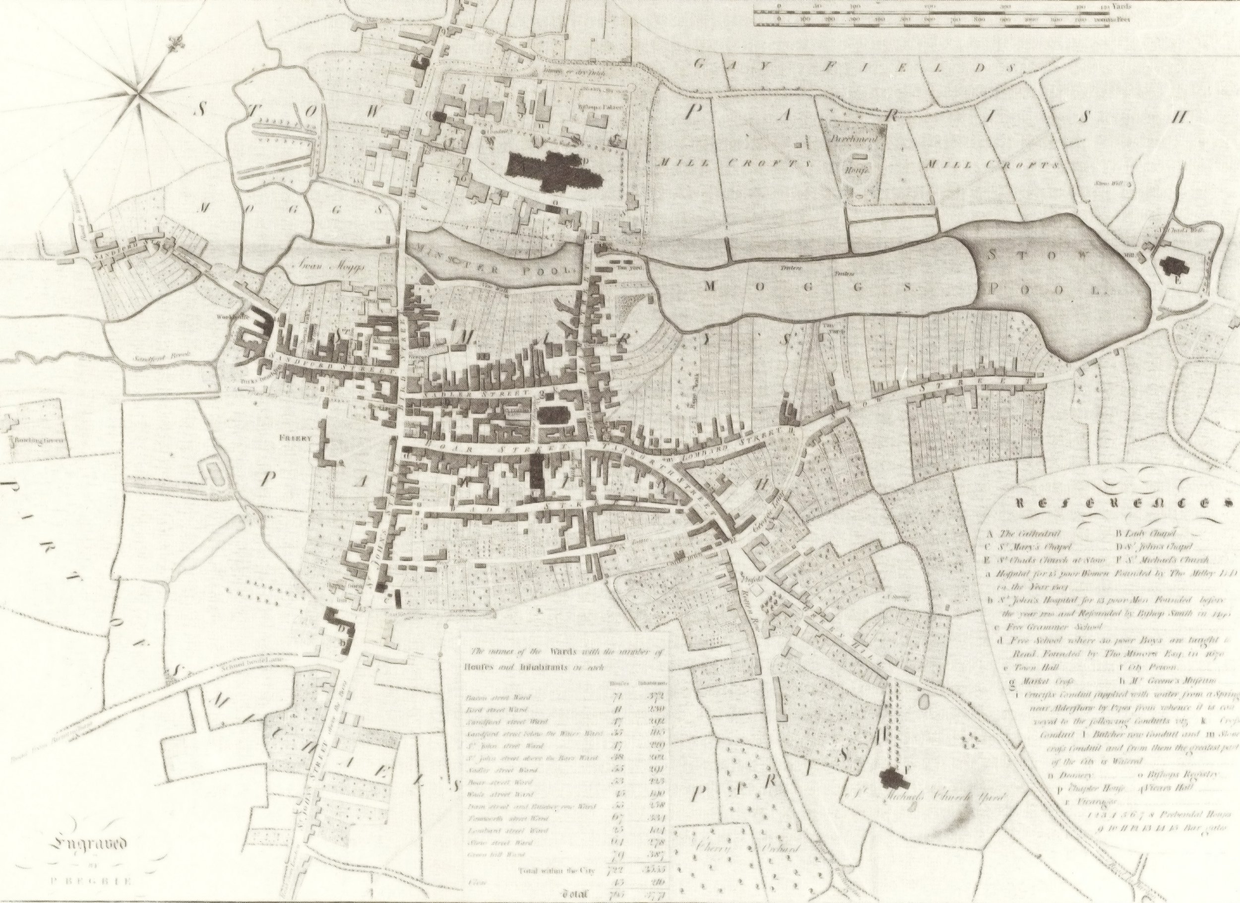
LICHFIELD anciently called LICIDFELD i.e. Campus Cadaverum, from the many Martyrd Bodies in the Dioclesian Persecution; being (a Thousand Christians) the Disciples of St Amphibalus, who were Massacred in a Field called Christian Field, and their Carcasses exposed to Wild Beasts; whence it bears for its Device an Eschouchon of a Landskip inn? is Represented 3 Slain Kings. This City is a County of itself; containing about 10 or 12 Miles in Compass Surrounded every Year (Viz.t) September 8th by the Sheriff who then Feasts the Corporation & Neighbouring Gentry: By Charter Edward 6th the Government consists of 2 Bailiffs, chosen Yearly out of 21 Brethren, a Recorder, Steward, Sheriff & c. Members of Parliament are chosen by the Free-men Free-holders and Burgess Tenors, paying Scot and Lot. Here are 3 Parish Churches, and a Cathedral. Markets Tuesday and Fryday. Fairs Ashwednesday, May-day and the Friday before St Simon & Jude.
The City and County of Lichfield
Forget your sat-nav.
Make your way to the City and County of Lichfield using the Britania Britannia Depicta by John Owen and Emanuel Bowen, from about 1720. The full map Coventry to Lichfield can be found here at www.fromoldbooks.org.
On the bottom of the map it even describes the Sheriff's ride.